
Serving Lincoln County for more than a century!
Serving Lincoln County for more than a century!
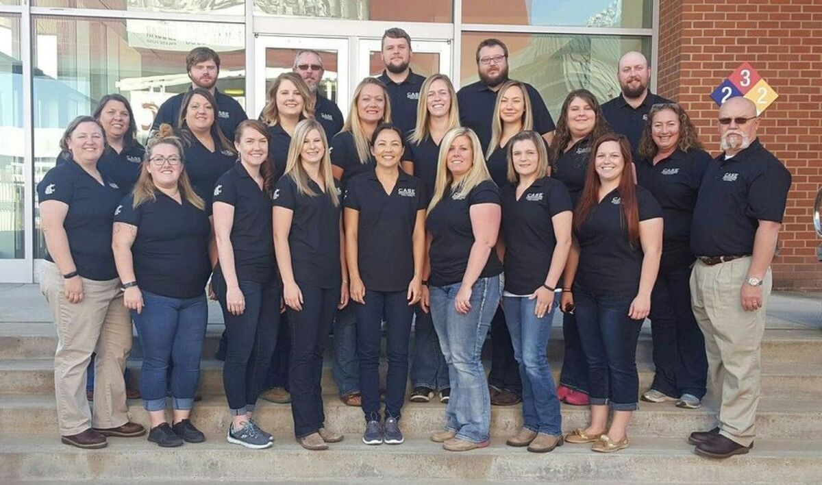
HaLee Walter, agriscience educator at Odessa High School recently attended an eight-day professional development institute at Washington State University to teach the Introduction to Agriculture, Food and Natural Resources; Principles of Agricultural Science Curriculum for Agricultural Science Education (CASE) course in Walter's program.
CASE is an instructional system that is changing the culture of agriculture programs in the United States through intense teacher professional development; inquiry-based, student-focused lessons; assessment and certification. CASE equips teachers to elevate student experiences in the agriculture classroom, and prepares students for success in college and careers emphasizing science, technology, engineering, and math.
During the CASE Institute, Walter spent 65 hours working through nearly every lesson in the year-long curriculum and learning how to deliver lessons in an inquiry-based way that will shift focus in the classroom from teacher-led to student-directed learning.
"I am so excited about my new certification in the CASE program! In this new class students will cover a broad range of Ag information from soils, water, pH, plants, animals, GPS, electronics and more!" said Walter.
For more information about CASE, visit http://www.case4learning.org.
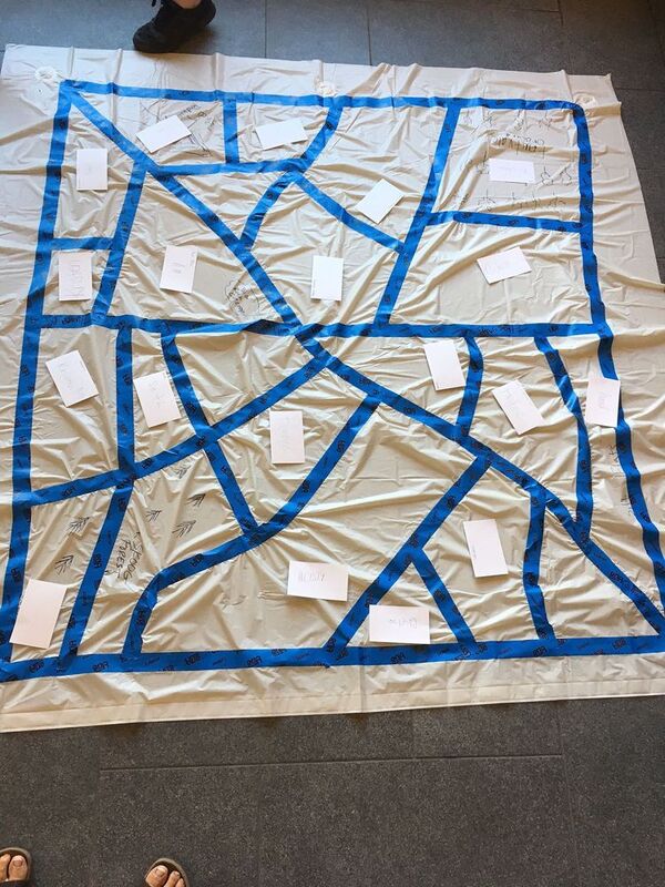
The first photo is the 20 Ag teachers that went through the training and the two lead teachers. The photo with the soda can is studying the different types of fuels and how they burn testing whether there a clean burning fuel or not. The square photo is learning about different types of surveying. And is showing "metes and bounds" surveying compared to rectangular land surveying.
Editor's note: In case our readers are mystified by "metes and bounds," as your editor was, the Wikipedia definition follows below:
The term "metes" refers to a boundary defined by the measurement of each straight run, specified by a distance between the terminal points, and an orientation or direction. A direction may be a simple compass bearing, or a precise orientation determined by accurate survey methods.
The term "bounds" refers to a more general boundary description, such as along a certain watercourse, a stone wall, an adjoining public road way or an existing building. The system is often used to define larger pieces of property (e.g. farms) and political subdivisions (e.g. town boundaries), where precise definition is not required or would be far too expensive, or previously designated boundaries can be incorporated into the description.

Reader Comments(0)